

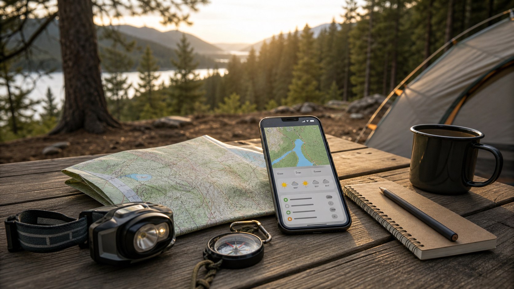
The most useful camping apps are rarely a single all-in-one answer. A better approach is to build a small app stack: one source for official park information, one for reservations, one for weather, and one or two map tools that still help when service gets weak.
This guide is written for US campers planning weekend trips, national park visits, campground stays, and road-accessible outdoor travel. It does not rank apps from hands-on testing, and it does not use affiliate links. Instead, it explains which tools fit which job, using official or first-party sources where possible.
The Short Version: Build an App Stack, Not a Single-App Plan
- Official park information: use the National Park Service app when visiting national parks.
- Campsite reservations: use Recreation.gov when your destination uses that system.
- Weather: check Weather.gov or the relevant National Weather Service forecast page close to departure.
- Offline maps: download offline map areas in Gaia GPS, AllTrails, Google Maps, or another navigation app before leaving coverage.
- Backup: carry a battery pack and a non-phone backup, especially if the route, weather, or terrain has real consequences.
That last point matters. An app can help you prepare, but it cannot create cell service, charge a dead battery, or make a closed road passable.
Official Planning Apps and Sources
NPS App for National Park Trips
If your camping trip includes a national park, start with the official National Park Service app. It is the most appropriate first stop for park-level information because it comes from the agency that manages the parks.
Use it for orientation, park information, basic planning, and checking details that may change by season or location. For a national park trip, this should usually come before random app lists or old blog posts, because closures, alerts, facilities, and access details can shift.
Recreation.gov for Reservations
Recreation.gov is the key planning tool for many federal campsites, permits, timed entries, and reservable recreation experiences. If your destination is bookable through Recreation.gov, the app can be part of the same workflow as your planning research.
The important habit is to separate reservation certainty from trip certainty. A confirmed campsite does not automatically mean roads, weather, fire restrictions, or local access are ideal. Treat the reservation as one piece of the plan.
Weather.gov for Official Forecasts
For weather, use Weather.gov or the relevant National Weather Service forecast page as an official source. Many campers like commercial weather apps for convenience, but the article should not pretend that there is a single official NWS app unless that is verified from an official source.
Check the forecast before packing, again before departure, and again when conditions are changing. For mountain, desert, coastal, or shoulder-season trips, weather can affect road access, temperature swings, water needs, and whether a casual weekend plan is still reasonable.
Offline Map Apps for Camping
Offline maps are one of the highest-value app features for camping. The key is preparation: download the map area while you still have a reliable connection, then confirm the download before you need it.
Gaia GPS
Gaia GPS is a strong fit for campers who care about outdoor layers, route planning, and offline navigation. Its support documentation explains how to download maps for offline use, which is exactly the kind of preparation campers should complete before leaving service.
This is the better category for dispersed camping, public-land scouting, forest road planning, and trips where ordinary road navigation may not show enough outdoor context. Pair it with a deeper navigation workflow like offline navigation planning.
AllTrails
AllTrails is useful when hiking trails, park walks, and campground-adjacent routes are part of the trip. Its offline map features are especially relevant when the plan includes trails or parks where service may be inconsistent.
The limitation is intent: AllTrails is not a replacement for every kind of road, public-land, or emergency navigation. It is best treated as a trail-focused layer in the app stack.
Google Maps Offline Maps
Google Maps offline maps can be helpful for road approaches, nearby towns, saved places, and general orientation around campgrounds. Google documents how to download areas for offline use, with limitations compared with full online navigation.
For many campers, Google Maps is the practical backup for the road portion of a trip, while an outdoor-specific map app handles trails, forest roads, public lands, and downloaded terrain context.
Weather and Safety Checks Before You Leave
The weather part of the app stack is less about picking a pretty interface and more about developing a repeatable habit.
Before leaving, check:
- the official forecast for your exact area or nearby point;
- overnight low temperatures, not just daytime highs;
- wind, storms, heat, smoke, flood risk, or winter conditions;
- park or agency alerts for closures and restrictions;
- whether your app information is still usable offline.
This is also where a dedicated GPS navigation device can still make sense for some trips. If you are traveling far from service, driving remote roads, or relying on navigation for the return route, a phone-only plan has limits.
Simple App Stacks by Trip Type
National Park Campground Weekend
Use the NPS app for park information, Recreation.gov if the site or entry is managed there, Weather.gov for forecasts, and Google Maps offline maps for the road approach. Add AllTrails if hiking is part of the plan.
Dispersed Camping or Public-Land Route
Use Gaia GPS or another outdoor map app with downloaded offline layers, Weather.gov for forecast checks, and Google Maps offline maps for town-to-trailhead driving. Also review Trail Gear Review’s guide to planning routes on public lands if your trip involves forest roads, BLM land, or remote vehicle travel.
Beginner Car Camping Trip
Keep it simple: Recreation.gov if you need a reservation, Weather.gov for the forecast, Google Maps offline maps for the approach, and a written packing list. Pair the app setup with a weekend camping checklist so the phone does not become the whole plan.
Hiking-Focused Camping Trip
Use AllTrails for trail research and offline trail maps where appropriate, Weather.gov for conditions, and an outdoor navigation app if the trail system or terrain is more complex. Download everything before leaving, then verify that airplane mode still leaves your maps accessible.
Pre-Trip App Checklist
- Download offline map areas for the campground, route, trailhead, and bailout roads.
- Save your campsite reservation, permit, confirmation number, or entry pass.
- Screenshot or save key addresses, coordinates, gate codes, and check-in details.
- Check official park, forest, or agency alerts.
- Check Weather.gov for the closest useful forecast point.
- Charge your phone and battery pack.
- Carry a backup navigation option for higher-consequence trips.
Bottom Line
The best camping app setup is not the app with the loudest marketing. It is the small stack that answers the real questions of your trip: Where am I going, is the site confirmed, what does the weather look like, can I navigate without service, and what is my backup if the phone stops helping?
For most US campers, start with official sources such as the NPS app, Recreation.gov, and Weather.gov, then add offline map tools like Gaia GPS, AllTrails, and Google Maps based on the type of trip. Download maps early, verify them before departure, and treat every app as support for good planning rather than a substitute for it.