

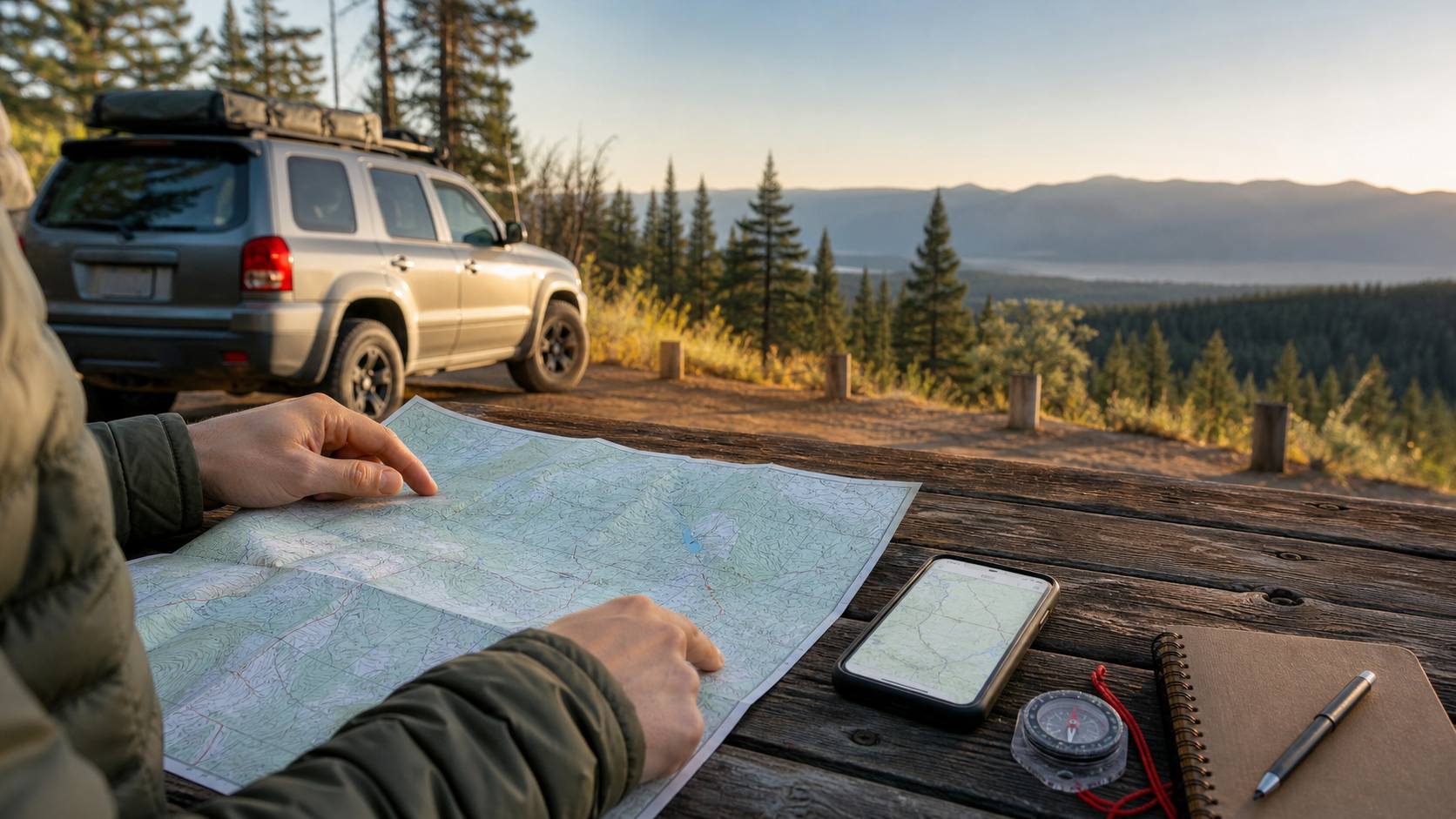
A campsite address and a phone signal can feel like a complete navigation plan, right up until the road forks beyond coverage. For a camping or beginner overlanding trip, offline navigation means preparing several useful layers before departure: official destination information, saved digital maps, a paper or non-phone reference, and route notes another person can understand. The goal is not to carry more technology. It is to avoid making important decisions with only one fragile source of information.
Why Plan Offline Navigation Before a Camping Trip?
Offline planning matters because outdoor destinations may have limited cell coverage, while map and route details still matter after you leave town. The National Park Service (NPS) advises visitors at Mount Rainier not to rely on a cell phone because coverage is unavailable in much of the park. At Great Smoky Mountains National Park, the NPS encourages visitors to download maps before exploring because cellular coverage is very limited.
That does not mean every campground is remote or every phone route will fail. It means your plan should remain usable when data service is slow, absent or not the right source for local road rules. The NPS Ten Essentials framework includes navigation using a map, compass and GPS system, with the expectation that visitors learn how to use their navigation tools before an outing.
Think of offline navigation as a backup system, not as permission to travel farther than your preparation supports. A downloaded map will not show a brand-new closure unless you refresh and confirm current alerts. A location dot does not tell you whether a motorized route is open to your vehicle. Start with official information and keep your trip within the conditions you can confidently manage.
Build a Three-Layer Map Stack Before You Leave
A simple offline navigation plan has three map layers: a destination map for facilities and official visitor information, a terrain reference for broader orientation, and, when you will drive on managed public-land routes, the applicable vehicle-use map or travel order. Each layer answers a different question, so one map should not be expected to replace all three.
1. Destination Map: Find the Official Starting Point
Begin with the agency or campground page for the place you are visiting. For a National Park Service destination, the official NPS App includes interactive maps and lets users download content from entire parks for offline use. Park-specific map pages may also provide PDFs, trail maps, campground information, access details and alerts to review before a trip.
Save the destination map before leaving reliable service, then record your planned campground, trailhead, visitor center or exit point in your trip notes. Check the site again near departure for alerts or closures. Offline access is useful precisely because it preserves information you intentionally prepared; it is not an automatic live update once your phone is out of range.
2. Terrain Reference: Understand More Than the Turn List
For trips where terrain or surrounding roads matter, add a broader reference map. The U.S. Geological Survey (USGS) provides access to current US Topo maps. USGS describes topographic maps as showing features such as elevation contours, water features, geographic place names and cultural features. Those details can help you understand the area around a route rather than seeing only a turn-by-turn instruction.
A topographic map does not tell you every current access rule or campsite condition. Use it as an orientation layer: learn the names of major roads, drainages, ridges or nearby developed places that can make route notes clearer. If you carry a printed map, protect it from weather and mark only information you have verified from the responsible agency.
3. Vehicle-Use Rules: Check Where Driving Is Permitted
If an overlanding-style trip uses National Forest System roads or motorized trails, the map that matters for motor-vehicle permission is the applicable Motor Vehicle Use Map (MVUM). The U.S. Forest Service explains that an MVUM shows routes or areas designated open to motor vehicle travel, vehicle classes, seasonal allowances and applicable distance allowances. Routes not shown as open on the MVUM are not open to public motor vehicle travel.
An MVUM is not a scenic route planner or a full terrain map. The Forest Service notes that it lacks topographic features and is best used with a visitor map, base map or other detailed map. Before any vehicle-based trip on National Forest land, obtain the current map for the correct forest or ranger district and check current restrictions. A general offline map on a phone is not a substitute for the managing agency’s travel rules.
Download and Test Your Digital Maps at Home
Do your downloading where the connection is strong and the day is calm. A simple home test is far easier than discovering at a roadside pullout that a map tile, PDF or park page never saved correctly.
- Confirm the destination and managing agency. Save the official campground, park, forest or recreation-area page and any current alerts relevant to access.
- Download the official destination information. For a National Park Service trip, download the park in the NPS App for offline use, or save the appropriate official map files offered by the park.
- Add the right supporting map. Download or print a suitable USGS topographic reference if terrain orientation will help. For permitted motorized travel on National Forest System lands, obtain the applicable MVUM as well.
- Mark the essential points. Keep the campground or legal overnight destination, route entry point, planned turn-around point and a known developed fallback or ranger/visitor contact location in your notes when available from official information.
- Test without data service. Put the phone in airplane mode at home and confirm that the maps and saved information you intend to rely on actually open. Do not assume a page viewed once has been stored for offline use.
- Plan power conservatively. Start with a charged phone and bring an appropriate charging plan for the trip, but keep a navigation reference that remains useful if the phone becomes unavailable.
This workflow is deliberately app-neutral apart from the official NPS option. The important question is not which logo is on the screen. It is whether you have official information for your destination, can access it offline, and understand which reference controls route use where you plan to drive.
Carry a Backup That Does Not Depend on Your Phone
A phone is useful for storing information, but it should not be the only place your route exists. The NPS navigation guidance includes map and compass alongside GPS, and recommends knowing how to use navigation tools before heading out. For a beginner, that can mean keeping the backup simple and matched to the outing rather than packing equipment you have never practiced with.
For a developed campground trip, a printed official park or campground map, written reservation/location details and a clear arrival route may be the practical backup. For a trail outing away from camp or a more remote vehicle-based route, a suitable paper map and basic compass skills become more important. Learn the map legend, identify major route references before departure and do not make an unfamiliar off-route decision simply because a device shows a line on a screen.
Pack the backup where it is available from the driver’s seat or daypack, not buried beneath camp gear. Keep any essential contact numbers, reservation details and access instructions with it. A backup works only if it is readable and reachable when you need to reconsider the plan.
Leave Route Notes With Someone You Trust
Offline navigation is also about making your plan understandable outside your vehicle or campsite. The NPS Trip Plan is intended to capture where you are going and when you expect to return, then be shared with a trusted contact. It is preparation, not a promise of rescue, and it should reflect the trip you genuinely intend to make.
For a weekend outing, your notes can be concise:
- Destination name, campground or planned overnight location and reservation details when applicable
- Vehicle description and license plate, if you are taking a vehicle-based route
- Planned arrival and return dates or check-in time
- Official route or trailhead names you intend to use
- The managing agency page or ranger-district information you checked
- The point at which your contact should follow the agreed plan if you do not check in
If your route changes before departure, update the notes. If conditions, closures or your comfort level change once you arrive, choose the conservative option rather than treating the original itinerary as an obligation.
Ten-Minute Offline Navigation Checklist Before Departure
Use this quick check after the vehicle is packed and before you leave reliable internet access:
- Destination, campsite or trailhead confirmed through an official source
- Current alerts, closures and access instructions reviewed
- Official destination map downloaded or printed
- Offline digital map opened successfully in airplane mode
- Appropriate terrain-reference map saved or packed, if needed
- Current MVUM checked and available for planned National Forest motorized travel, if applicable
- Paper or non-phone backup placed where you can reach it
- Phone charged and trip-appropriate power plan packed
- Route notes and expected return/check-in plan shared with a trusted contact, when appropriate
- A fallback plan chosen if a route, road or weather condition is not suitable when you arrive
Offline navigation does not have to make a first trip complicated. It is a short preparation habit: gather official maps, save what you need before coverage fades, carry a basic backup and make sure someone else can understand your plan. Pair this navigation check with a beginner weekend camping checklist and your first miles away from town will begin with fewer avoidable unknowns.
Official Sources
- National Park Service: The NPS App
- National Park Service: Great Smoky Mountains Maps
- National Park Service: Mount Rainier Hiking Safety
- National Park Service: Ten Essentials
- National Park Service: Trip Plan
- U.S. Geological Survey: Topographic Map Access Points
- U.S. Forest Service: Maps and Motor Vehicle Use Maps